AI autonomous control
Analyze routes, obstacles and surrounding conditions to support autonomous takeoff, patrol and return operations.

NEXTMAKE DRONE SOLUTIONS
We integrate autonomous AI control, real-time image analysis and cloud connectivity to advance field decisions and operations across security, inspection, disaster response, agriculture, logistics and research.
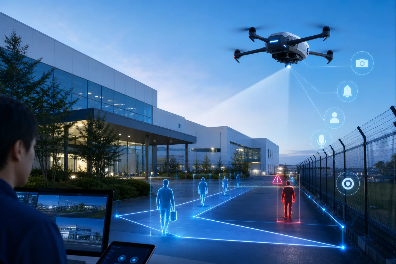
AI × DRONE TECHNOLOGY
We design more than an aircraft: perception, decision-making, connectivity and protection operate as one system, transforming field conditions into data that teams can use remotely, safely and quickly.
Analyze routes, obstacles and surrounding conditions to support autonomous takeoff, patrol and return operations.
Detect people, vehicles, equipment anomalies and temperature changes in real time from visible and thermal imagery.
Centralize video, flight history and inspection results for remote monitoring, sharing and ongoing data use.
Combine encrypted communications, access control and audit logs to protect aircraft operations and collected data.
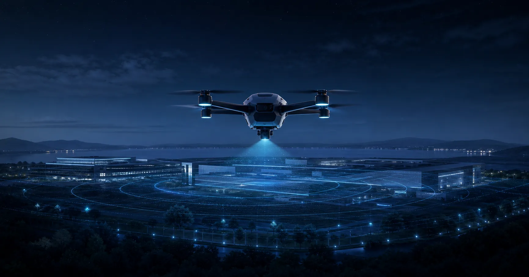
SOLUTIONS
AI and aerial data improve monitoring, inspection, situational awareness, transport and research, supporting safer and more continuous operations across wide or hard-to-reach environments.
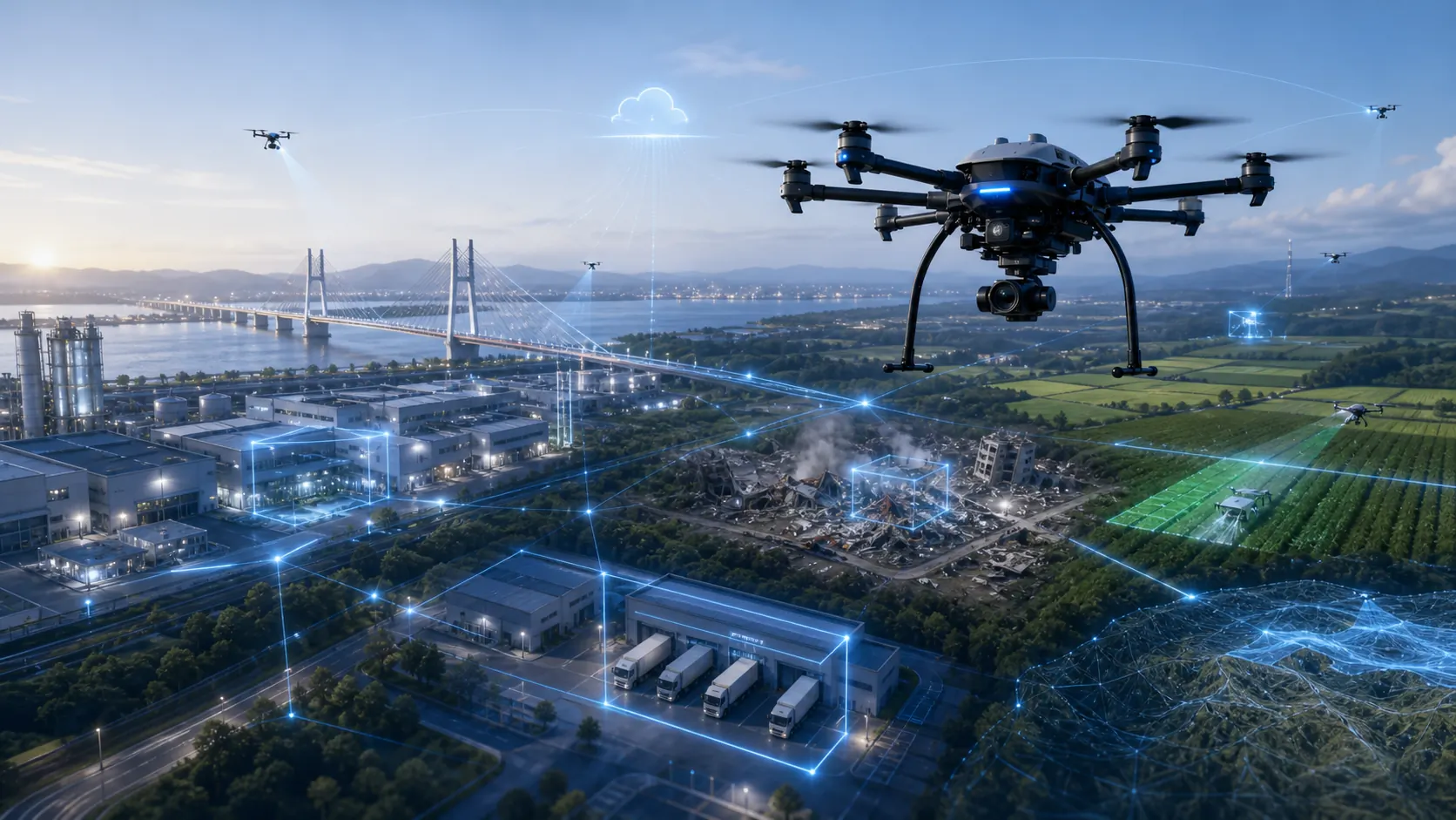
Patrol facilities, factories, event sites and large premises to support anomaly detection, notification and recording.
Capture and analyze bridges, roads, buildings and solar facilities while reducing high-altitude and hazardous inspection work.
Assess affected areas quickly and at scale to support access decisions, information sharing, search and rescue.
Monitor crop growth, disease and dryness from above to improve spraying, patrol efficiency and field decisions.
Explore last-mile delivery and site-to-site transport that is less constrained by terrain or distance.
Support surveying, terrain mapping, environmental studies and risk assessment through repeatable wide-area data collection.
INTELLIGENCE LOOP
AI analyzes field video and sensor data, then shares results through the cloud to support alerts, records, forecasting and operational improvement.
Collect video, thermal, location, distance and other mission-specific information from the air.
Extract targets, anomalies and changes, organizing the information that requires human attention.
Share results remotely and store a secure history for teams and stakeholders.
Turn insights into alerts, inspections, dispatch decisions and field work plans.
CO-CREATION / PILOT PROJECT
Security, inspection, disasters, agriculture, logistics or research—talk with us from the pilot design and co-development stage.